01 Read
What happened
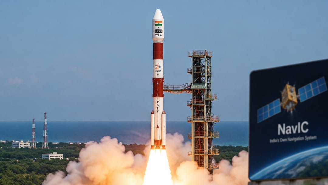
ISRO launched NVS-03, a 2,250 kg navigation satellite, from Satish Dhawan Space Centre to restore and expand the NavIC constellation. The launch marks a significant milestone as private Indian space firms played a role in manufacturing satellite components, reflecting the growing commercialisation of India's space sector following the 2020 space reforms. NavIC, India's regional navigation system, provides positioning services across the Indian subcontinent and surrounding oceanic regions, reducing dependence on GPS.
02 Understand
Why it matters
NavIC (Navigation with Indian Constellation), formerly known as IRNSS (Indian Regional Navigation Satellite System), is India's indigenously developed satellite navigation system operated by ISRO. It is designed to provide accurate position, velocity, and time services to users in India and up to 1,500 km beyond its borders — a region classified as its primary and extended service areas.
The constellation is designed around seven satellites: three in geostationary orbit (GEO) and four in geosynchronous inclined orbit (GSO). NVS-03 belongs to the second generation NVS (NavIC with enhanced features) series, which improves upon the original IRNSS satellites by incorporating the L1 frequency band in addition to L5 and S bands — making NavIC-compatible chips usable in civilian smartphones without special hardware.
The 2020 space sector reforms, which opened ISRO's supply chain to private players through IN-SPACe (Indian National Space Promotion and Authorisation Centre) and NewSpace India Limited (NSIL), now mean private firms contribute to satellite fabrication, sub-system manufacturing, and launch services. This launch signals a maturing public-private partnership model in India's strategic space infrastructure.
NavIC's strategic importance lies in its independence from foreign navigation systems (GPS, GLONASS, Galileo, BeiDou) during conflict or technical disruption — a lesson drawn from the 1999 Kargil War when the US denied India GPS access.
The constellation is designed around seven satellites: three in geostationary orbit (GEO) and four in geosynchronous inclined orbit (GSO). NVS-03 belongs to the second generation NVS (NavIC with enhanced features) series, which improves upon the original IRNSS satellites by incorporating the L1 frequency band in addition to L5 and S bands — making NavIC-compatible chips usable in civilian smartphones without special hardware.
The 2020 space sector reforms, which opened ISRO's supply chain to private players through IN-SPACe (Indian National Space Promotion and Authorisation Centre) and NewSpace India Limited (NSIL), now mean private firms contribute to satellite fabrication, sub-system manufacturing, and launch services. This launch signals a maturing public-private partnership model in India's strategic space infrastructure.
NavIC's strategic importance lies in its independence from foreign navigation systems (GPS, GLONASS, Galileo, BeiDou) during conflict or technical disruption — a lesson drawn from the 1999 Kargil War when the US denied India GPS access.
Remember + Why it matters
The key recall facts and exact examiner angle for UPSC CSE are in the Crux app.
01
Key figure and date from this topic
02
Specific number or threshold to remember
03
Policy or regulatory implication
Read + Understand free forever · 30-day free trial